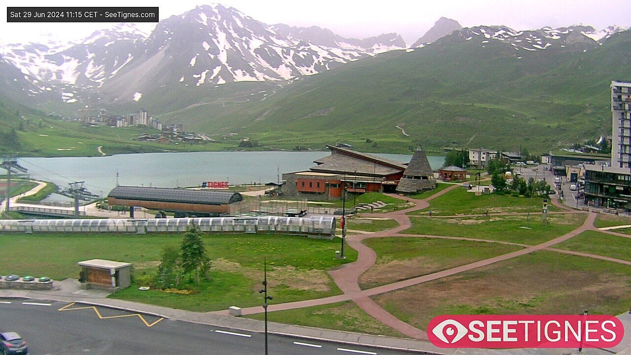
© altituderando

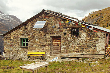
Bergerie de la Davie
A medium length hike up to a mountain refuge above Les Brevieres
This hike should take in the region of three hours to complete, slightly less if you start from the parking at Lac de Chevril and slightly more if you start from the far end of Les Brevieres village.
Starting from the car park at the lake, take the path up through Chevril village and onto some steep switchbacks. Continue to climb up towards the climbing school and onward to a ruined chalet.
Head north in the direction of Villaret des Brevieres and onto a clearing which leads up to a small plateau with a three way intersection. Head right, signposted "Bergerie de la Davie", and climb a short distance before another fork in the path. From here you'll get a great view of the Grande Motte glacier at the limit of the treeline.
At the next signpost take a right in the direction of "Alpage de la Davie" where the path leaves the forest. You start to head downhill after you make it to the Bergerie, follow the signs for Villaret des Breiveres until you see the first sign for the lac du Chevril.
From here carry onto the parking area, or turn right back on yourself in the direction of Les Brevieres.
Worth knowing
This area is home to herds of sheep, so dogs must be kept on a leash at all times. Take care when crossing the road.
What to bring
The route can found on IGN map 3633ET Tignes/ Val d'Isere and in the 'Les Sentiers de L'Ete' booklet available from the Maison de Tignes tourist office.

![a picture of a hotel suite at [itemref]](https://cdm0lfbn.cloudimg.io/v7/_images_base_/image_uploader/photos_e2/original/campanules-174-suite.jpg?ua=1579868018&p=carousel)