Col de la Tourne
A sustained climb up the ski runs to the Col de la Tourne
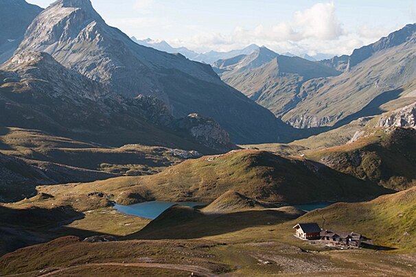
Uninterrupted views of the surrounding area.
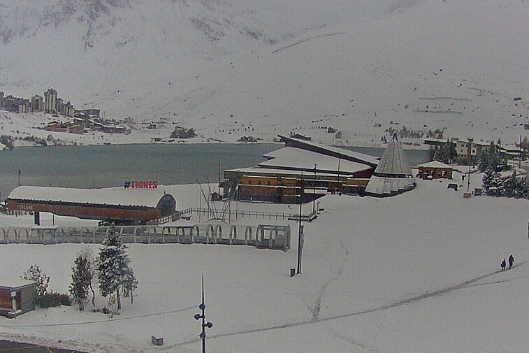
Leaving the centre of Tignes le Lac head uphill along side the Millonex draglift towards the 4x4 track. Follow the track to the south west where a small path leads off it taking you north west alongside the Chardonnet chairlift and past the Croix de Palafour. The trail is marked for Col de la Tourne, Aiguille Percée.
After you pass the top of the Chardonnet lift you continue north west along a series of large 4x4 tracks and smaller paths heading between two small lakes.
From here the path gets smaller and steeper as it climbs to the Col de la Tourne at 2,656m. From here you will have great views over Tignes le Lac and the surrounding mountains; Rochers Rouges to the north and Pointe du Chardonnet to the south.
What to bring
The route can found on IGN map 3633ET Tignes - Val d'Isère and in the 'Les Sentiers de L'Été' booklet available from the Maison de Tignes tourist office.
What to see
Sights in Tignes
See all Sights & Sites-

Vanoise National Park
The Vanoise National Park is one of the highlights of the Tarentaise region.
Where to lunch
Restaurants in Tignes
See all Restaurants-

L'Alpage des Chaudannes Restaurant
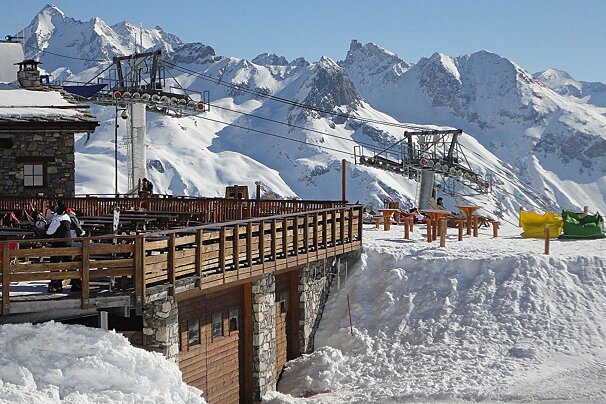
This cosy restaurant is located on the massif de L'Aiguille Percée, between Tignes le Lac and Tignes les Boisses.
-

La Fruitière Restaurant
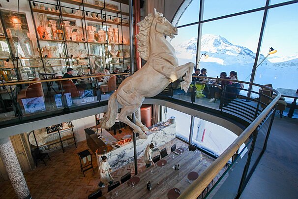
Located at the top of the Daille bubble, within the celebrated La Folie Douce après-ski and gourmet hotspot, La Fruitière serves delicious modern dishes based on traditional flavours.
-

L'Arti Restaurant
Dine in a friendly and relaxed atmosphere, in a restaurant that evokes mountain charm mixed with a touch of the seventies.
-

Lo Soli Restaurant
This restaurant situated on the massif de l'Aiguille Percée, between Tignes le Lac and Tignes Les Boisses is open for lunch.
-

La Petite Cuisine Restaurant
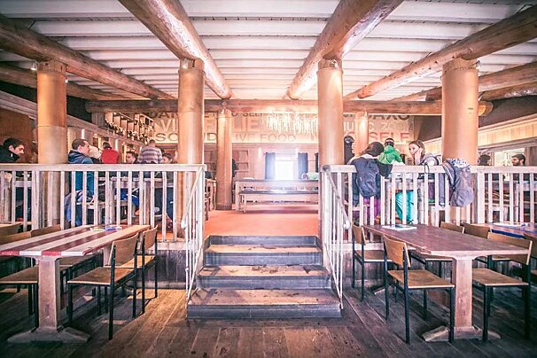
La Petite Cuisine is La Folie Douce's gourmet-quality, canteen-style restaurant. They serve a perfect mix of high-class local cuisine in a friendly, family atmosphere.
-

La Cucùcina Restaurant
Located at the top of the Daille bubble, within the celebrated La Folie Douce hotspot, enjoy gourmet Italian cuisine prepared by a renowned chef and his Italian team.
What to do
Things To Do in Tignes
See all Activities & Trips-

Reverse Heliski/Heliboard
Legal in France, so accessible from your doorstep, it’s the perfect way to combine helicopters, skiing / snowboarding and huge vertical meterage without bearing the brunt of full Heliski day prices. Using ski lifts to reach the summit of resort, then ski backcountry reaching terrain often inaccessible without a helicopter where you’ll get picked up and taken back to resort.
-

Whitewater Rafting
Rafting is the most accessible water sports activity on offer. Whether you are looking for an amateur sport, a nature experience or simply a first taste of what a river can offer, you will love this activity!
-

Chemin des Berger Quad & Buggy Tour
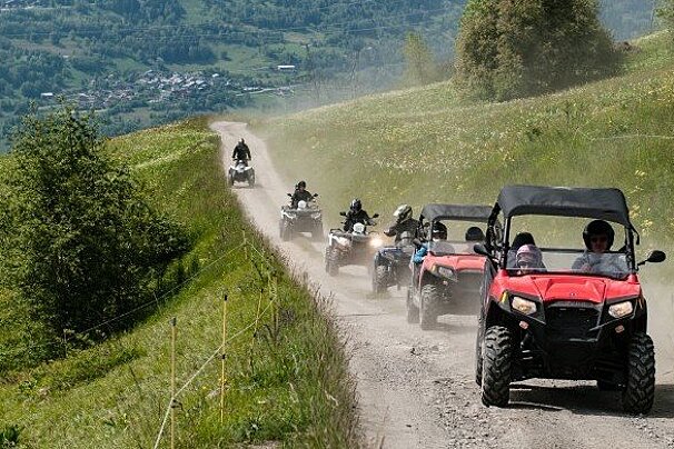
Explore the mountain paths and take advantage of the wonderful backdrop on one of these 4x4 vehicles.
-

School of Ice Diving
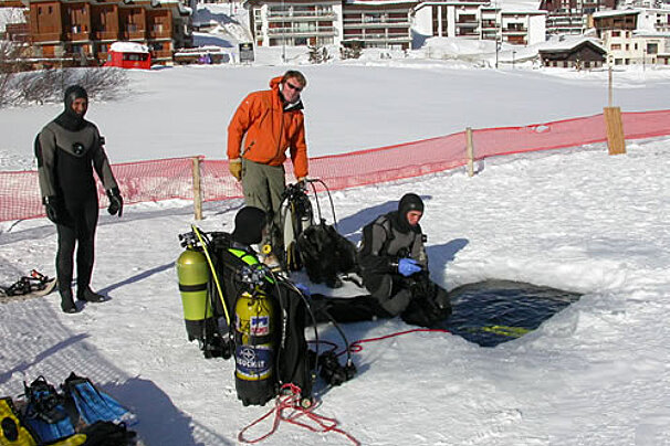
Experience the sub aquatic world, the beauty of the colours below and the explore the icy lake in Tignes.
-

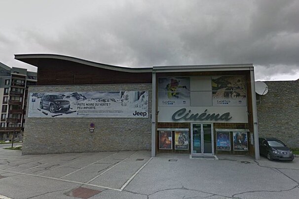
Cinema, Tignes Val Claret
After an intense ski session, what better than a good movie to relax? As a couple, with family or friends, Tignes' cinema is open throughout the season.
-

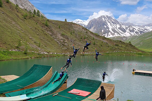
Acroland
At one end of the lake in Tignes is the Acroland water park, where you can try out: Blob jump, slide ramp and ski or BMX ramp.





![a picture of a hotel suite at [itemref]](https://cdm0lfbn.cloudimg.io/v7/_images_base_/image_uploader/photos_e2/original/campanules-174-suite.jpg?ua=1579868018&p=listing_summary_middle)
